
Llucmajor – Camí de Gràcia – Camí de Son Ponç – Camí Vell de Montüiri
Duration: 2 h 30 min – 9.6 km – Easy, with gentle ascents and descents
NOTE: This excursion is, in principle, one-way only, and it would be necessary to arrange a pick-up at the end of the route (at km 5.9 on the Ma-5017 road from Randa to Montuïri). As an alternative, you can walk back, but it then becomes a long walk of almost 19 km. If you’re looking for a peaceful and uncomplicated walk, this is it: a rural path that alternates open fields and wide views with small wooded areas, one-way only, with gentle ups and downs through colourful landscapes. In short, a pleasant walk for any time of the year.
The walk begins at the same starting point as excursions 1 and 2, leaving from the institute via the Camí de Gràcia, and bearing left at the fork at 12 min. We pass Camí Vell de Gràcia (excursion no. 2) at 20 min and the rural hotel (agroturisme) Son Sampolí at 30 min. We continue along the main route. An occasional vehicle may pass. Very soon we’ll pass Camí de S’Aresta, which appears on the left at 35 min – an unpaved road leading to a recreational area (Can Pancuit) higher up the mountainside (alternative route).
The main route continues among some chalets and houses. The road soon narrows and becomes much quieter in terms of traffic, with open fields to the right and the mountain of Randa to the left. Further along, we pass Camí des Pontarró on the right (short version of excursion no. 1) and continue, now with some shaded areas under the trees, skirting the base of Puig de Randa, now much closer. The path crosses a charming rural setting, passing farms and estates here and there, open fields and forested areas, meandering gently up and down. Looking back from time to time, we’ll see open views over the hills and fields of Llucmajor in the distance, and even glimpses of the sea in some spots.
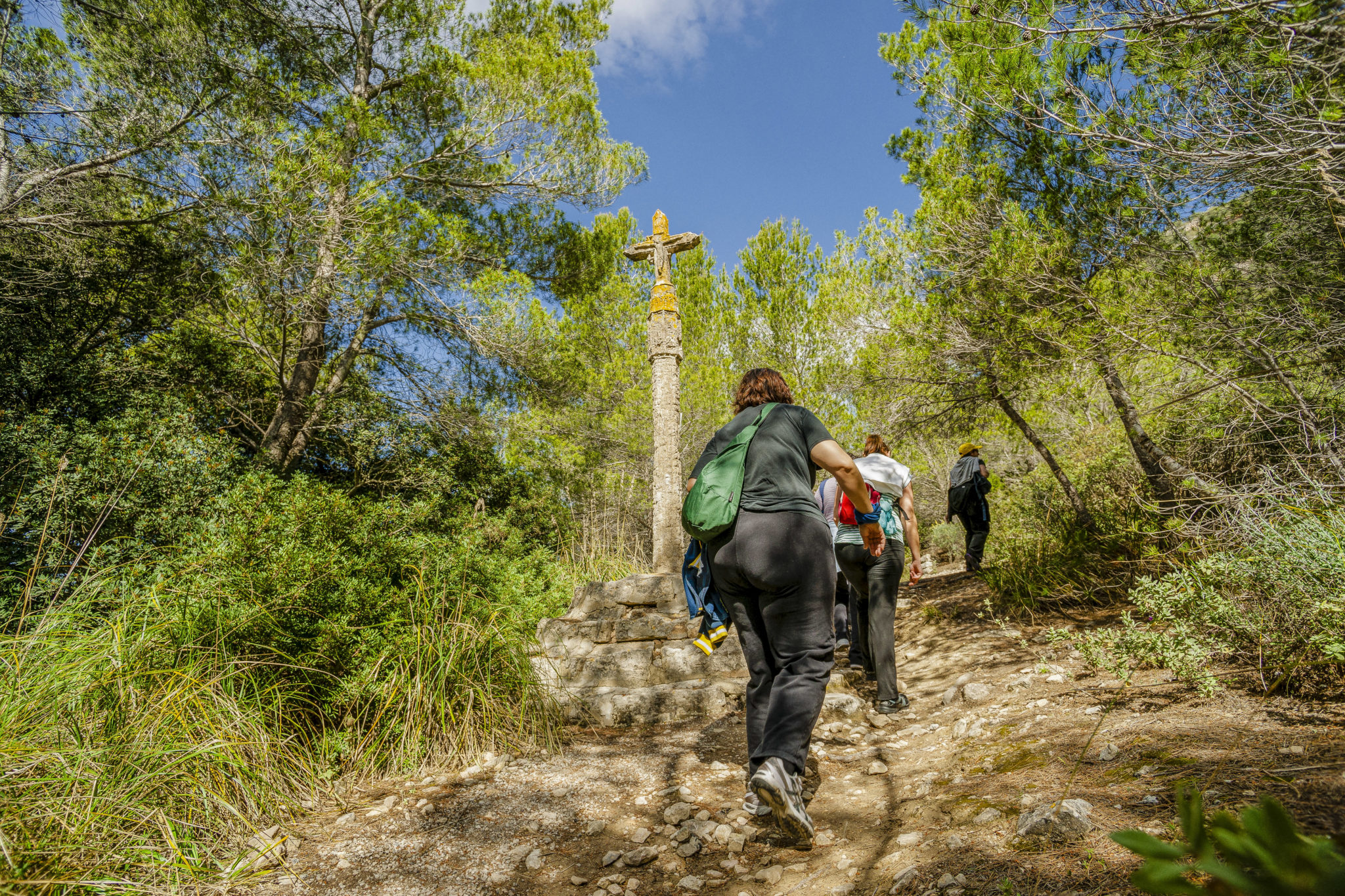
At 1 h 10 min we pass Camí de Son Ponç on the right, as we enter beautiful pine woods at the foot of the Randa mountain on the left. As we go on, we find more shade as we walk through the woods, soon leaving Puig de Randa behind, having skirted the base. The tarmac ends (1 h 35 min) and the route continues along a wide, stony dirt track. It passes several estates and hidden residences within the forest. Soon, we’ll see the Serra de Tramuntana on the horizon to the left, easily identifying its three highest peaks: Puig Major – the highest at 1,445 m – Puig de Massanella, and Puig Tomir.
We have now walked around Puig de Randa. The path levels out. We pass through open fields again before starting a gentle descent towards El Pla and the village of Montuïri. The route turns left and then right at 1 h 45 min, shortly after passing the entrance to Son Sastre on the right. At this point, we keep left, and a few minutes later a sharp left bend brings us to a spot where a panoramic view opens before us over El Pla and the distant Serra mountains, with the village of Montuïri below – like a viewpoint.
Now we continue the descent, Puig de Randa well behind us. This entire area is classified as ANEI (Natural Area of Special Interest) and is protected due to the variety of native plant species and wildlife in the area. Reaching a kind of crossroads (2 h), we continue straight and walk through open farmland, enjoying broad views as we continue our gentle descent. We pass in front of some elegant homes, and then an estate that appears somewhat abandoned, soon reaching the end of the trail, which finishes on the Ma-5017 road, near the kilometre 5.9 marker, after 9.4 km of walking, hopefully where our pick-up awaits.
If not – and if we have all day to enjoy – why not walk back the same way? The activity will always offer new views and perspectives. Perhaps there’s even time for a picnic before returning to Llucmajor.